Why is it so hard to just see
your data on a map?
We didn't want dashboards packed with noise. We didn't want clustering. We didn’t want to earn a PhD in GIS to understand where our data lives.
We just wanted dots on a map — clean, fast, intuitive.
Powerful Features Built for Action
We stripped away everything but what matters - clean visualization, instant insights, and tools that work the way you think.
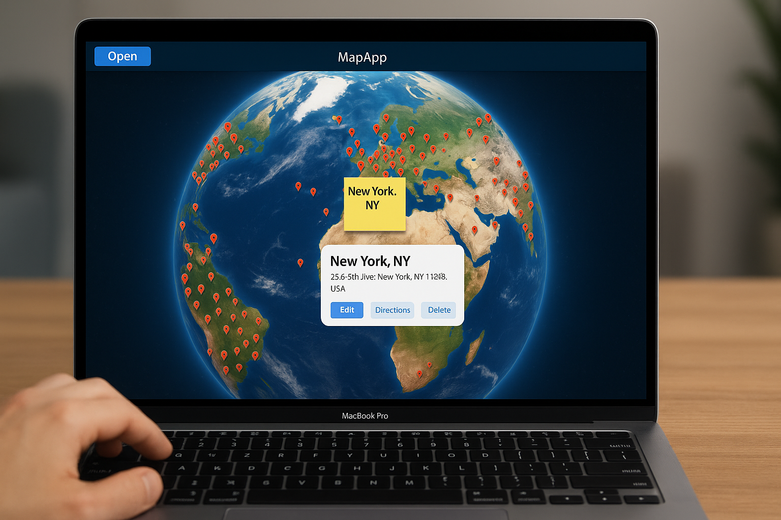
Drag & Drop Mapping
Upload any CSV with addresses - we'll instantly plot them. No coordinates or GIS skills required.
One-Click Actions
Call, email, or get directions directly from map points. Edit records without switching apps.
Live Collaboration
See team edits in real-time with shared sticky notes and progress tracking.
Data Layers
Overlay demographics, traffic, or custom data to reveal spatial patterns.
Global Coverage
Accurate mapping for 100+ countries with local address formatting support.
No-Frills Philosophy
Enterprise power without the bloat. Just clean, fast maps that work.
See How It
Actually Works
From spreadsheet chaos to spatial clarity in four simple steps
Upload Your Data
Simply drag and drop any spreadsheet with address data. No coordinates needed - we handle the complex geocoding automatically.
Support for CSV, Excel, Google Sheets. Automatic column detection for addresses, names, and custom fields.
Instant Visualization
Watch your data transform into an interactive map in seconds. Each row becomes a clickable point with all your information.
Smart Interactions
Click any point to call, email, edit, or add notes. Built-in actions make your data immediately actionable.
Collaborate & Analyze
Share with your team for real-time collaboration. Use AI insights to discover patterns and optimize your operations.